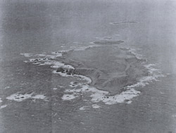
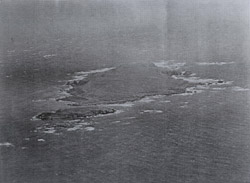
Ilak Island, located atLatitude
51.47778 Longitude -178.28722,
is
approximately 1,800 miles from the West Coast of the United States and 1,100
miles from theRussianPeninsulaofKamchatka.
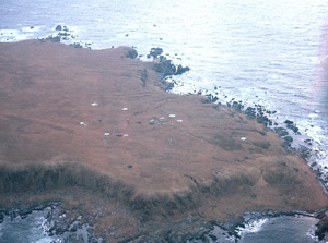
Ilak is 6,500 feet in length
(east to west) and 3,000 feet wide with a high point of 188 feet.
According to Geochron Laboratories, Inc. in 1971 the island is formed from
“a hornblende-biotitepair
from thequartzmonzonitepluton.”
This was confirmed
by L.B.G. Pickthorn in 1985.
Nearby islands are considered to be at risk for 215-285 bbl of non
persistent oil
spills over a ten year period as they sit south of major shipping lanes, and
within a several hour cruise of Tanaga Island with its dock facilities.1
Gramp
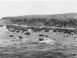
Rock 1.5 miles west of Ilak is a breeding ground for adult Sea Lions.
Populations during the early summer have numbered in the mid-forties during
recent surveys.2
Birds
of many species frequent these islands.2
During
theSecond
World War, on
August 13, 1944 aU.S.
Army Air ForceB-24
Liberatorreturning
from a bombing mission over the Japanese held island of Paramushir(or
Paramushiro) ran into grave difficulty trying to find its base at Shemya(approximately
400 miles to the West). A thick fog had made landings
at all bases in the WesternAleutiansimpossible.3
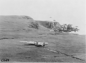
Running
out of fuel, the fog cleared as the crew and a sister ship flew over Ilak
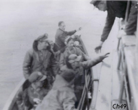
Island. Making a wheels-up emergency crash landing the crew survived and
was picked up by the Coastal Survey ship Patton and ferried to Lash Bay on
Tanaga Island.4The
plane’sbomb
sightwas
removed and later the plane was
stripped of itsgunsand
electronics by ship borne military personnel. Eventually
the plane was destroyed though the wings and tail assembly remained.